| Plattform Platform |
Reise-Nr. Cruise-No. |
Zeitraum Period |
Projekt Project |
Arbeitsgebiet Working area |
|---|---|---|---|---|
| Valdivia | 114 | 15.07.1991 - 30.07.1991 | Baltic Sea Western Baltic Sea |
| Fahrtleiter Chief Scientist | Institut Institute | Auslaufhafen Port of departure | Einlaufhafen Port of return | Stationskarte Station map | Schiffsroute Trackchart |
|---|---|---|---|---|---|
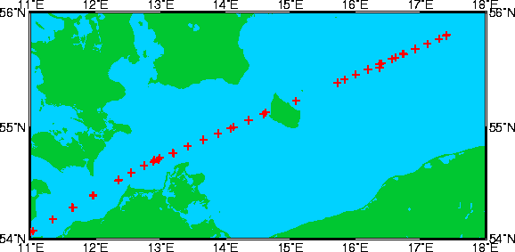
| Makris J. | Institut fur Geophysik der Universitat Hamburg | Hamburg | Hamburg | Karte Map |
Ziel der Reise / Objectives of Cruise:
Two on/offshore wide-angle reflection and refraction seismic profiles from the Lubecker Bucht across the island of Bornholm into the central Baltic Sea. 15 Ocean Bottom Seismographs were deployed at each profile at intervals averaging 18,5km (Profil I) and 12,5km (Profil II). An Airgun array with a total volumen of 34l were fired continuously along the profiles.
Messungen / Measurements
| Institut Institute |
Wissenschaftler Scientist |
Anzahl Number |
Einheit Unit |
Typ der Messungen Type of measurements |
Kommentar Comments |
Daten im DOD Data in DOD |
|---|---|---|---|---|---|---|
| IFGHH | Makris J. | - | stations | G26 Seismic refraction (no.of nautical miles) |
15 Ocean bottom seismographs | no |
| ZIPPOS | Hurtig | - | stations | G26 Seismic refraction (no.of nautical miles) |
9 Ocean bottom seismographs | no |
| IFGHH | Makris J. | 37 | stations | H00 Stations |
- | no |